

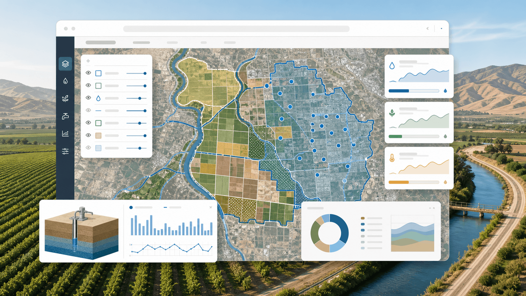
GIS and Data Tools for California Water and Agriculture Teams
How web-based GIS, shapefile tools, and operational dashboards can support California water agencies, agriculture teams, and local land management workflows.
Read article →The field journal
Practical architecture decisions, tradeoffs, and operating lessons from software that has to survive business change.
Browse all topics →Showing 3 of 3 articles
Latest writing
How web-based GIS, shapefile tools, and operational dashboards can support California water agencies, agriculture teams, and local land management workflows.
Read article →Development of an online GIS shapefile viewer and editor for SGMA Solutions, enabling users to view and edit compressed shapefiles directly in the browser with real-time boundary mapping capabilities.
Overview of Sigma Solutions, a groundwater management web application built to simplify SGMA compliance for California water agencies with interactive mapping and data management tools.